Skip to main content
Advanced search
Search
Washington County Heritage Online
Home
Recently Added
About
Reproductions
Browse By...
Browse by Contributor
Browse Images by Place
Browse Images by Date
Close
City of Beaverton
Items
Created
Resource class
Title
Ascending
Descending
Sort
Advanced search
Bonita Road crossing Interstate 5
Aerial view of Beaverton and Cedar Hills
Aerial view of Cedar Hills
Aerial view of St. Mary's Home for Boys
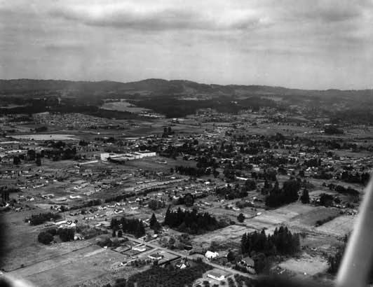
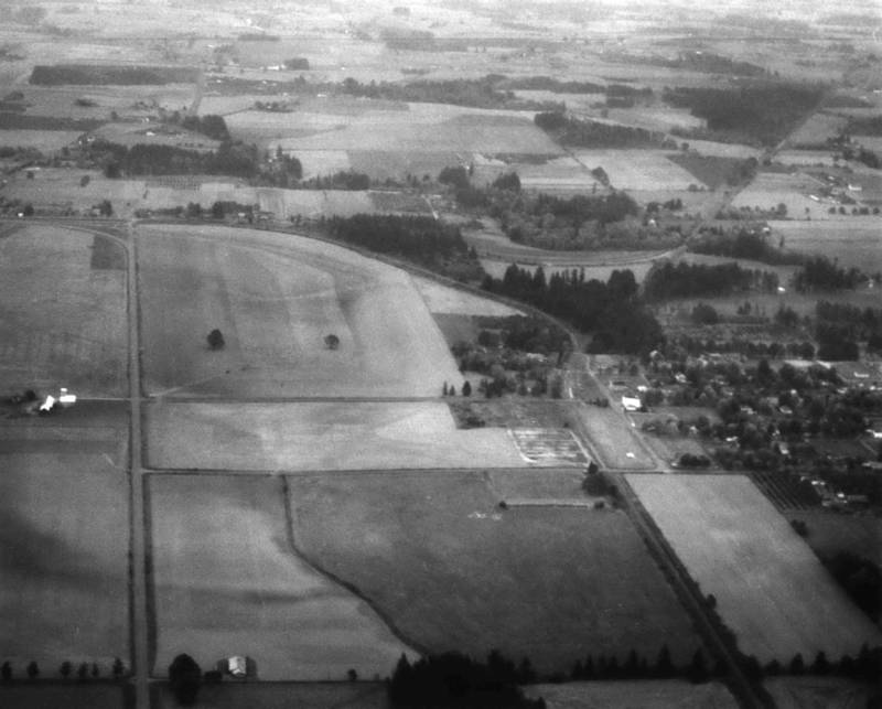
Aerial view of Beaverton
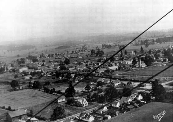
Aerial view of Beaverton
1930
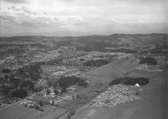
Aerial view of Beaverton
1960/1969
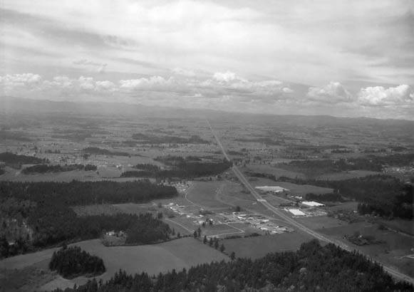
Aerial view of U.S. Highway 26, also known as Sunset Highway
1948
Aerial view of Orenco
73–81 of 81
Page
of 4